ALTITUDE AVIATION
Elevate Your Initiative.
WHO WE ARE
ALTITUDE AVIATION is a leading provider of innovative drone solutions designed to transform how businesses approach aerial operations. With a commitment to excellence and cutting-edge technology, we deliver professional drone services that elevate your initiatives across diverse industries. Our mission is to make aerial imagery accessible and affordable for organizations of all sizes.
We specialize in aerial photography, surveying, and inspections, leveraging state-of-the-art drone technology and expert service to provide unparalleled insights and results. Whether you need stunning aerial imagery, precise surveying data, or comprehensive infrastructure inspections, our team is equipped to exceed your expectations and deliver value for your business.
Our Services
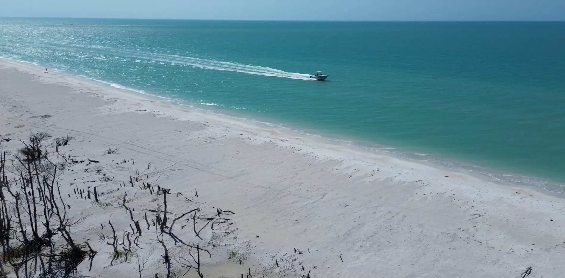
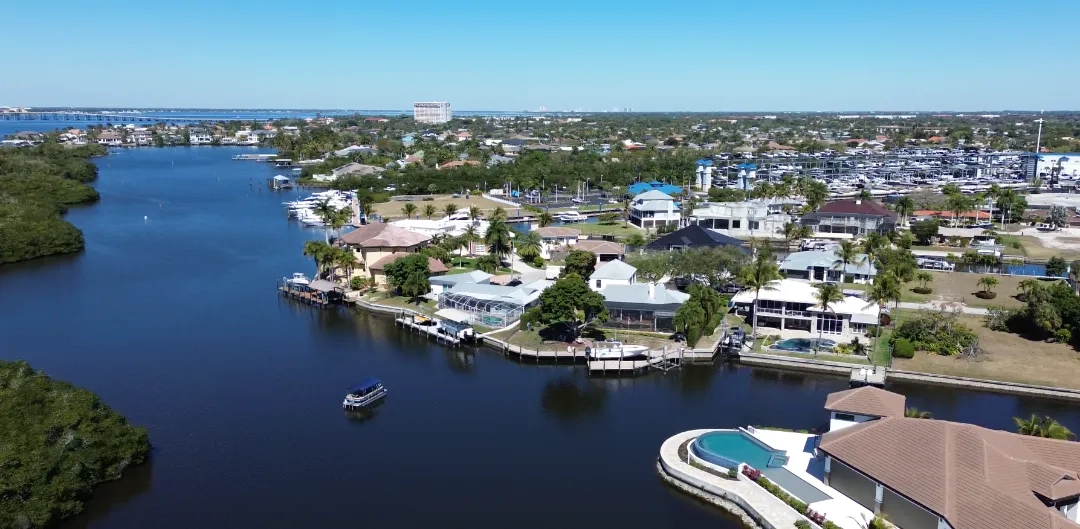
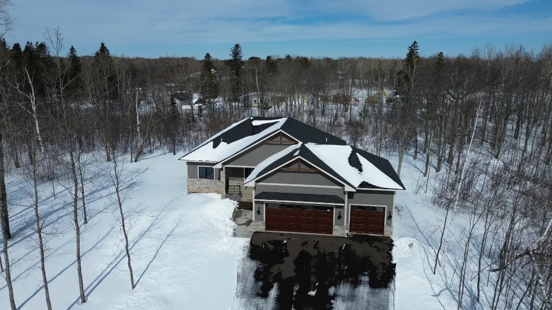
Aerial Photography
Capture stunning high-resolution aerial imagery for marketing, real estate, events, and creative projects. Our professional drone photography delivers breathtaking perspectives that showcase your property or project from unique angles.
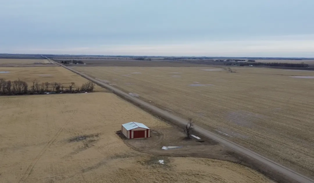
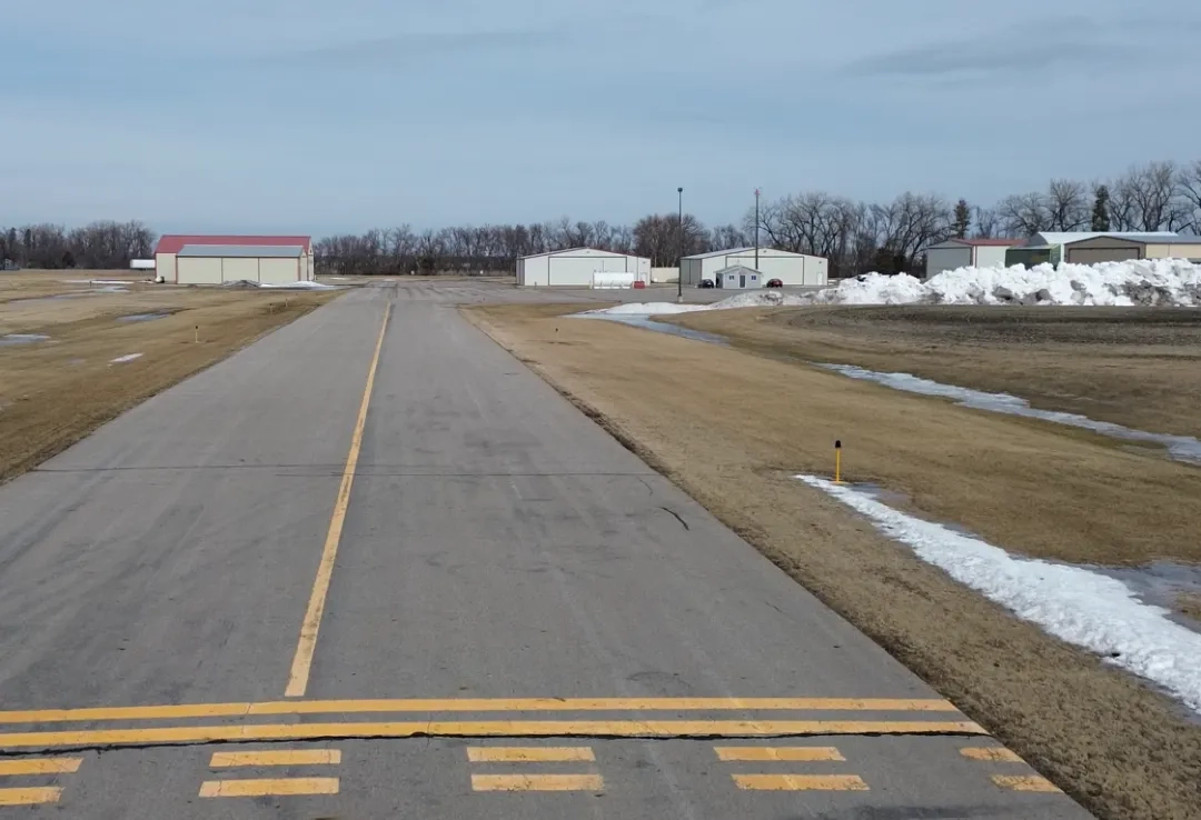
Surveying & Mapping
Obtain precise surveying data and detailed mapping for construction, land assessment, and infrastructure planning. Our advanced drone technology provides accurate measurements and comprehensive site analysis for informed decision-making.
Inspections & Monitoring
Conduct safe and efficient inspections of buildings, bridges, power lines, and other infrastructure. Our drone inspection services provide detailed visual data and real-time monitoring capabilities for maintenance, safety, and compliance purposes.